The Map Centre
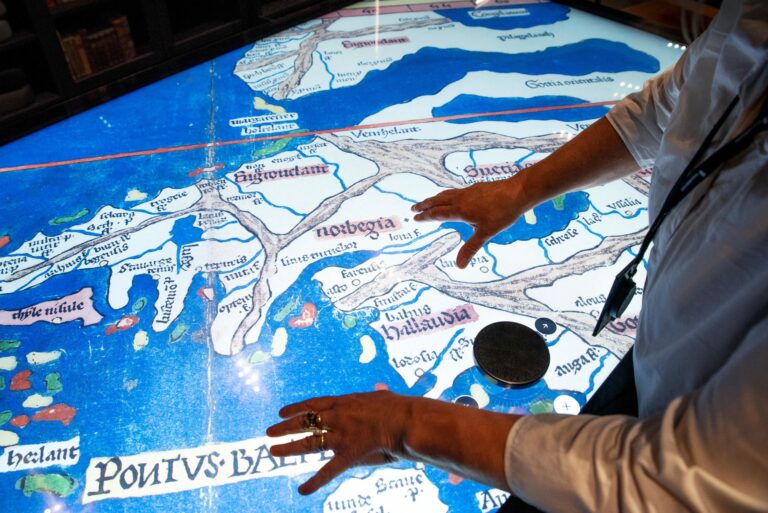
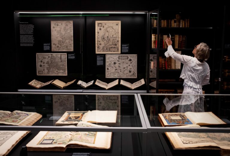

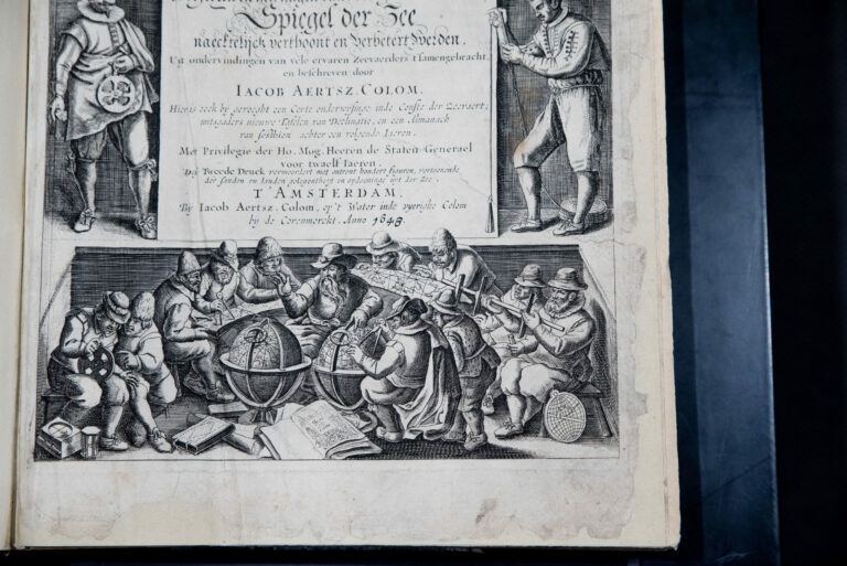
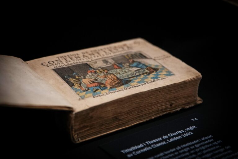
The Map Centre contains the world’s most extensive collection of printed maps of Norway, the Nordic countries and the High North. The oldest of these maps are from 1482, and the newest from the late 1800s. As a collection, these maps represent both a history of the geographical epistemology of the Nordic countries and a comprehensive account of the development of the maps and the subject of geography.
Most of what is found here is part of the Ginsberg collection, which consists of approximately 2000 maps, atlases and older geographic books and travelogues. In the Map Centre, this material is supplemented by selected maps and literature from the National Library’s wider collections. The National Library’s collection of maps contains approximately 150,000 maps. All maps printed in Norway after 1882 are preserved here, since the legal depositing scheme became a legal requirement that year. The National Library’s collection of maps also contains a number of older and international material.
- Free entrance
- For opening hours, click here